Mustang Bayou
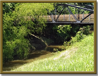
Photo Courtesy of the
Houston-Galveston Area Council


Counties: Brazoria, Fort Bend
Parameter: Bacteria
Basins: Bays and Estuaries, San Jacinto-Brazos Coastal
Segments: 2432B, 2432C
Assessment Units (AUs): 2432A_01, 2432A_02, 2432D_01, 2432E_01
On this page:
Since 2010, high concentrations of certain fecal bacteria have been identified in Mustang Bayou. Fecal bacteria are found in both human and animal waste. The presence of these bacteria may indicate a health risk to people who swim or wade in the bayou—activities referred to as “contact recreation” in the Texas Surface Water Quality Standards.
To address these concerns, people who have a stake in the watershed are working with TCEQ to develop TMDLs and a plan to implement them (I-Plan). A TMDL is like a budget — it determines the amount (or load) of bacteria that the bayou can receive and still support recreational safety. The allowable load is then allocated among categories of sources within the watershed. Stakeholders will also develop one I-Plan to reduce bacteria in Mustang, Persimmon, and New bayous, Chocolate Bayou, and Halls and Willow bayous, all of which are in the larger watershed that drains to Chocolate Bay.
The Mustang Bayou watershed is home to agricultural, residential, and commercial uses. Most of the residential development is in the upper half of the watershed. Agricultural production is an important economic base for most of the watershed, primarily rice and hay cultivation and cattle grazing. Chemical production facilities are clustered in the lowest area of the watershed, mostly between New Bayou and Chocolate Bayou, near Chocolate Bay.
Mustang Bayou, Segment 2432A, is approximately 43 miles long and flows southeast, beginning in Fort Bend County and continuing through Brazoria County. Its headwaters are within the city limits of Missouri City, although most of the stream is within the boundaries of Brazoria County. Mustang Bayou has been heavily modified and channelized along most of its length. It flows into New Bayou about 5 miles upstream of Chocolate Bay. The Mustang Bayou watershed, which includes Persimmon Bayou and New Bayou, is home to agricultural, residential, and commercial uses. Agricultural production is an important economic base for most of the watershed.
Persimmon Bayou, Segment 2432D, branches off from Mustang Bayou near the intersection of FM 2004 and CR 2917. The bayou flows southeastward for approximately 5 miles until it joins New Bayou near Chocolate Bay. New Bayou, Segment 2432E, flows southeastward about 16 miles and empties into Chocolate Bay.
In all its projects, TCEQ gathers opinions and information from people who represent government, permitted facilities, agriculture, business, environmental, and community and private interests in the watershed. Staff from the Houston-Galveston Area Council (H-GAC) have been working with stakeholders to distribute information about this project and involve them in developing the I-Plan for watershed improvement.
All public meetings about this project are open to anyone interested. Watch for meeting announcements here. See meeting records in the "Get Involved" section of the H-GAC's webpage San Jacinto-Brazos Coastal Basin Bacteria Reduction Project .
Please email tmdl@tceq.texas.gov and mention the Mustang Bayou project in the subject line. Or call us at 512-239-6682.